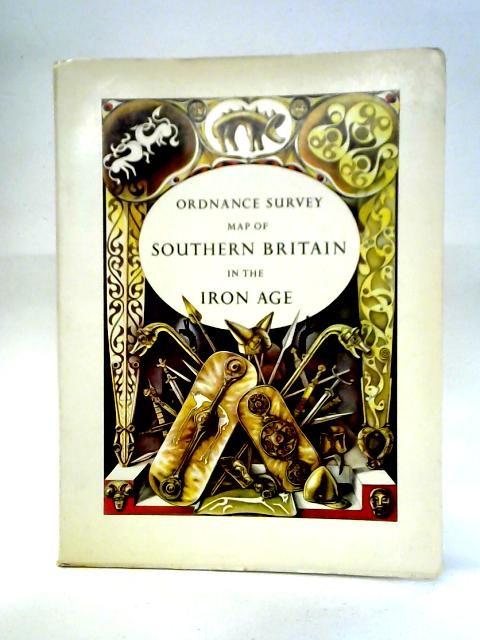
Map Of Southern Britain In The Iron Age: 1:625,000 or Ten Miles to 1 Inch A.H. Dowson
1967. Reprinted. 55 pages. Paperback book with pictorial cover enclosing large fold-out colour map and index. Pages remain bright and clean with minimal tanning and foxing. Binding remains firm. Paper cover has mild edge-wear with light rubbing and creasing. Some light marking and tanning.