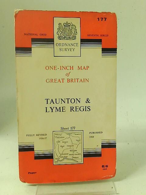
Taunton and Lyme Regis Ordnance Survey One-Inch Map of Great Britain Sheet 177 by Ordnance Survey
1960. Revised edition. Unpaginated. Ordnance survey map in colour. Paperback covers. Map remains bright and clear. Only minor creasing present. Black inscription to bottom section. Covers have moderate tanning with creasing and reading lines.