Cart
Free Shipping in Australia
Proud to be B-Corp

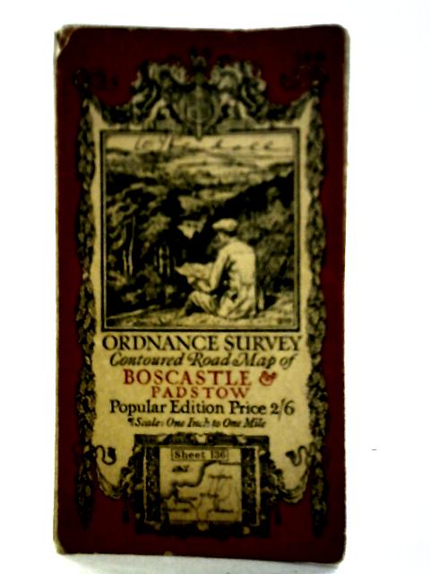
Ordnance Survery Contoured Road Map of Boscastle And Padstow. Sheet 136 Unstated

Ordnance Survery Contoured Road Map of Boscastle And Padstow. Sheet 136 By Unstated
Old & Rare

Ordnance Survery Contoured Road Map of Boscastle And Padstow. Sheet 136 by Unstated


$43.19
Condition - Good
Only 1 left

Summary

1919. Popular Edition. Unpaginated. Illustrated paper covers. Foldout map. Panels have minor scuffin...

Ordnance Survery Contoured Road Map of Boscastle And Padstow. Sheet 136 Summary

Ordnance Survery Contoured Road Map of Boscastle And Padstow. Sheet 136 by Unstated

1919. Popular Edition. Unpaginated. Illustrated paper covers. Foldout map. Panels have minor scuffing, foxing and tanning. Mild creasing, tearing and fraying to fold lines. Binding remains firm. Light water staining to panels also visible; image unaffected. Paper covers have noticeable edge-wear and corner curling with visible fraying, tanning and scuffing overall.
Additional information

1715269900CAB
Ordnance Survery Contoured Road Map of Boscastle And Padstow. Sheet 136
Unstated
Ordnance Survey
Used - Good
Paperback
N/A
N/A
No Jacket
N/A
Popular Edition
Book image taken of actual book.
N/A
This is a used book. We do our best to provide good quality books for you to read, but there is no escaping the fact that it has been owned and read by someone else previously. Therefore it will show signs of wear and previous use.
1919

Customer Reviews - Ordnance Survery Contoured Road Map of Boscastle And Padstow. Sheet 136