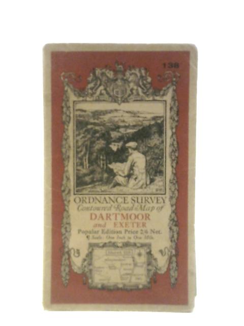
Ordnance Survey Contoured Road Map of Dartmoor and Exeter Sheet 138 by Ordnance Survey
1932. Corrected. Unpaginated. Colour cloth bound map with pictorial paper covers. Map has light tanning and foxing overall. Marking to reverse covers. Paper cover has mild edgewear with curling to corners and reading creases.