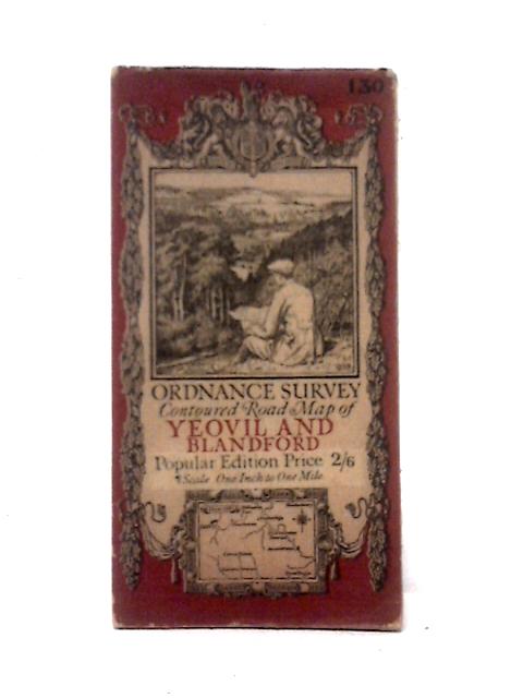
Yeovil & Blandford: Ordnance Survey Contoured Road Maps Sheet 130 Unstated
1919. Popular Edition. Unpaginated. Paperback book with pictorial cover. Colour illustrated foldout map of Yeovil & Blandford. Panels have light scuffing, foxing and tanning. Mild creasing and rubbing to fold lines. Binding remains firm. Paper covers have light edge-wear and corner curling with visible tanning, chipping and scuffing overall.