Cart
Free Shipping in Australia
Proud to be B-Corp

AA Great Britain Road Atlas AA Publishing

AA Great Britain Road Atlas By AA Publishing

AA Great Britain Road Atlas by AA Publishing


$38.99
Condition - Very Good
Only 2 left

Summary

A4 road atlas showcasing Britain's clearest mapping at 3.2 miles to 1 inch. New features on the mapping include Blue Flag beaches, football stadia, lighthouses and waterfalls. District mapping of London, Birmingham, Glasgow, Manchester and Newcastle are also included.

AA Great Britain Road Atlas Summary

AA Great Britain Road Atlas: 2018 by AA Publishing

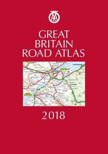
This A4 format atlas is available in two binding styles, Hardback and Leather bound. Each page has been titled with its geographical location so you can turn to the page you need more easily.Wide minor roads (more than and less than 4m wide), National Trust, English and World Heritage sites, crematorium locations and other hard-to-find places are shown on the mapping.There are is a comprehensive 31,500 entry index with airports, top tourist sites and motorway services listed. Plus, scenic routes, tourist sites with satnav friendly postcodes and caravan and camping sites symbolised on the mapping.

Additional information

GOR009968796
9780749578589
0749578580
AA Great Britain Road Atlas: 2018 by AA Publishing
Used - Very Good
Hardback
AA Publishing
20170701
328
N/A
Book picture is for illustrative purposes only, actual binding, cover or edition may vary.
This is a used book - there is no escaping the fact it has been read by someone else and it will show signs of wear and previous use. Overall we expect it to be in very good condition, but if you are not entirely satisfied please get in touch with us

Customer Reviews - AA Great Britain Road Atlas